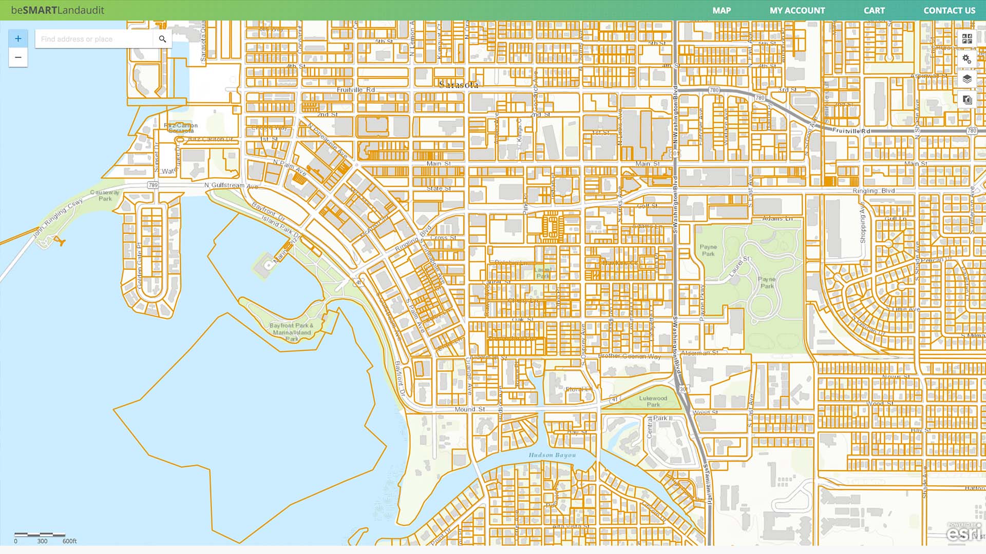
Property Boundary or County Parcels
These are the lot lines of a specific property. The base layer accurately displays up-to-date parcel boundaries over your choice of street maps, aerial imagery, or topographic maps among others. Click on any property and it will show the size and owners name. The more info link will take you to the counties website for that specific parcel. There depending on the county you can see who owns it, what they paid for it, the zoning classification, future land use, if taxes are current and other info.